| 561 |
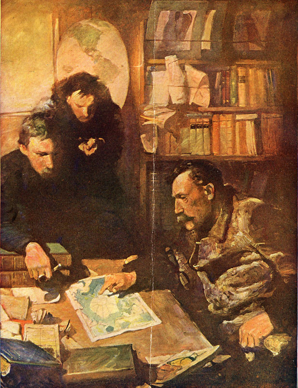
| Peary and the North Pole Map |
| FES Title: | Peary and North Pole Map | |
| Alternate Titles: | The Map Makers |
|
| Date: | 04/23/1913 | |
| Size: | 0″H x 0″W | |
| Medium: | ||
| Type: | illustration | |
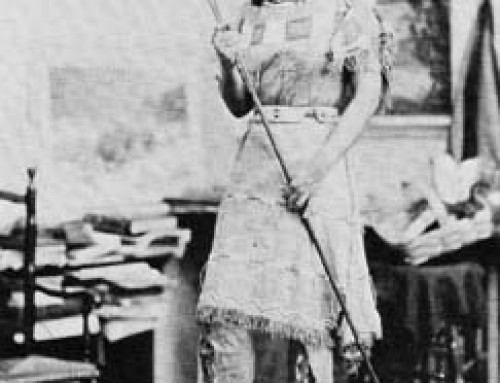
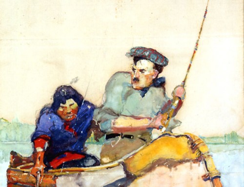
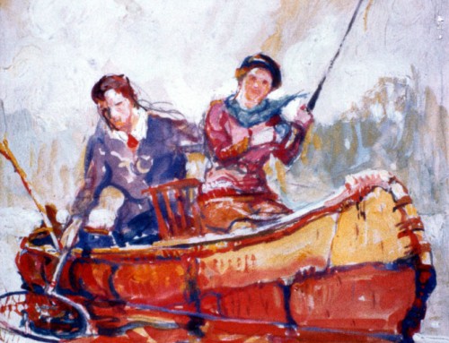
| Published: | The Century Dictionary and Cyclopedia, vol. XI. New York: The Century Company, 1911: frontispiece. caption: Robert E. Peary in the cabin of the ‘Roosevelt’ outlining his route with the help of the North Pole Map in the Century Atlas which he cut bodily from the Atlas for continual reference on his dash to the pole. See within for this map as revised by Peary himself on his return home. |
|
| Inscription: | [none visible as published] | |
| Annotations: | ||
| Exhibitions: | 1917 WSFA | |
| Comments: | index; edit | |
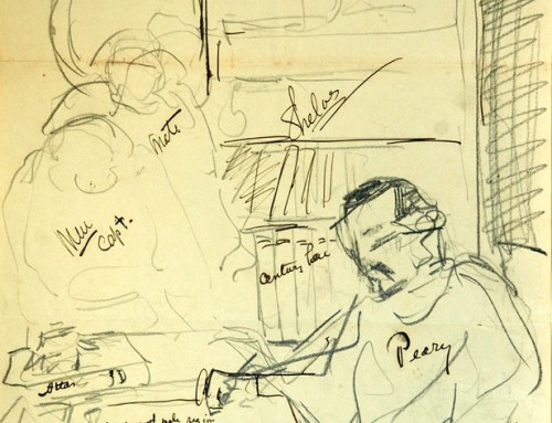
| Commentary: | In a letter written on January 28, 1913, to Mr. Robert C. Hallowell at The Century Co., Schoonover explains his feelings about painting the illustration and responds to a special request: “The subject of Peary, his men and the Atlas volume really interests me very much and aside from its being a means to an end, I think it a right good subject for a picture and I have every hope of its turning out fine. I note your suggestion of size and will be governed accordingly. Also, I will show a few copies of the Century Dictionary. By the way, can you send me an old set of the Dictionary in the same sort of binding that Peary had. Perhaps not all of a set – the Atlas, especially, so that I may paint in the map of the polar regions, and one or two others – ‘still life’. I think the whole matter of picture and Dictionary will turn out well for both of us and I thank you extremely for arranging it as you have.” (archives, correspondence) |
|
| Provenance: | Not known |